.


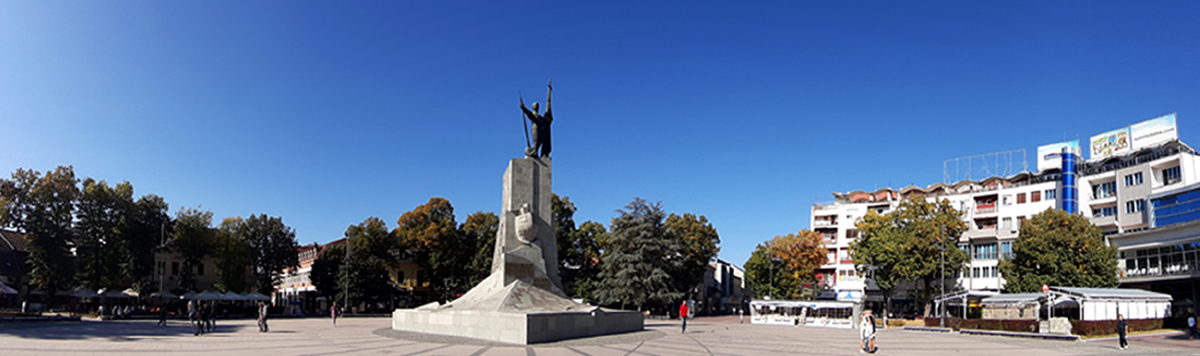
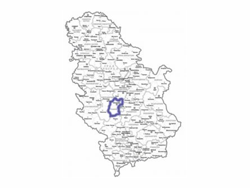
Kraljevo is located in central Serbia, one hundred and seventy kilometers from Belgrade. It is located in a basin formed by the Ibar and West Morava rivers, and forms the boundary between two distinct areas - the gentle mountains of Valjevo and Sumadija in the north and the sharp massifs of Kopaonik and StariVlahin the south.
It stretches from the north to the south, from the Sumadija mountains (Kotlenik) to the Kopaonik group of mountains (Zeljin, Goc and Stolovi). In the west it rests on the parts of mountain StariVlah (Jelica, Cemerno). Down the valley of the West Morava, municipality of Kraljevo is open to the Great Pomoravlje. It is located at altitude of 200m.
Thanks to its favorable geographical position, Kraljevo has also become a major traffic intersection of Serbia. The Ibar Highway is a road that follows the natural course of the Ibar River, passes through Kraljevo and, throughout Gornji Milanovac and Ljig, connects the southern Serbian province Kosovo and Metohija and Montenegro with the north of Serbia. Along the West Morava, there is a road that runs from the east-west direction of the country, and from the Republicof Srpska and Montenegro, via Kraljevo, it is the fastest way to Kragujevac, Krusevac and Nis, all the way to the borders with Bulgaria and Macedonia.
Kraljevo is also an important railway traffic junction, located at the intersection of the Pozega-Stalac highway, which connects the Belgrade-Bar and Belgrade-Nis tracks with the Belgrade-Lapovo-Kragujevac-Kosovska Mitrovica track.
Kraljevo is extremely rich in rivers. It is crossed by: West Morava, Ibar, Ribnica, Studenica, Lopatnica, Gvozdacka River, Gruza, Musina River, Magasnica…
The mountains in the vicinity of Kraljevo are: Goc (1. 124m), Stolovi (1. 325m), Troglav (1. 177m), Cemerno (1. 579m), Radocelo (1. 643m) Zeljin (1120 m on the territory of Kraljevo) ), Kotlenik (749m), Jelica (796m on the territory of Kraljevo), Gledic mountains (922m) and others. They are overgrown with forests (at lower altitudes beech, fir, linden, ash tree, and in higher conifers) and rich in pastures and various mountain plants.
Kraljevo is a city of temperate continental climate. Depending on the season, temperature, winds, insolation and precipitation change. The highest air temperatures are in July, when the average temperature is 24 degrees, and the lowest in January when the average temperature is 0 degrees.
An important indicator of the tourist attractiveness of the climate is insolation. The sunniest days are in the summer months, with an average of 8 hours and 30 minutes, which is especially beneficial for spa tourism. When it comes to precipitations, it mostly rains (average 104 days a year). Winds are most common in late fall, winter and early spring (kosava).